It’s snowing in the Wasatch, at least up high. Sunday evening NWS Salt Lake City posted a Snowbird webcam shot of snow coming down and promised “more notable accumulations” Monday through Wednesday (post). By morning the numbers had done what October numbers do, which is move. The NWS now has Snowbird at only about 2–7 in. through Wednesday, down from a much bigger number earlier. Alta, just up the same canyon, holds at about 8–15 in., down from 10–18 in. yesterday (NWS Alta).
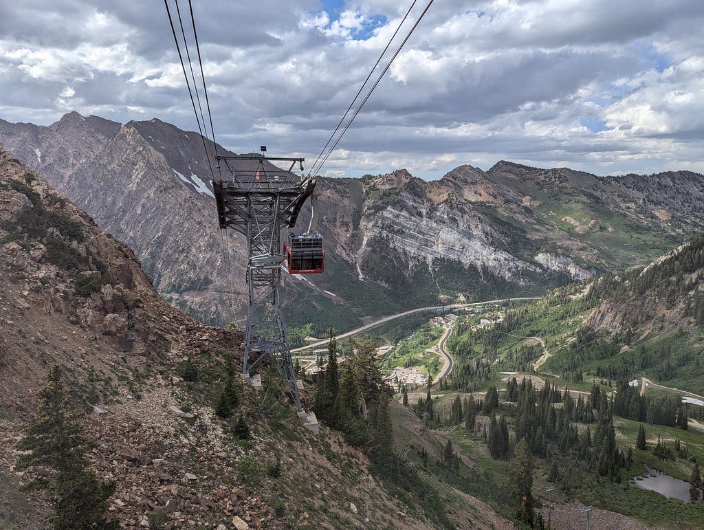
File photo: Snowbird’s new tram cabin (in service since 2022), rooftop deck and all, in summer.
Photo: Roller Coaster Philosophy / Flickr, CC BY 2.0
Same canyon, two very different forecasts. That gap is the whole story. In an early storm, elevation is the forecast: the snow line matters, not the storm total. The NWS says accumulations “could be significant, but primarily confined to the highest terrain” (NWS discussion). The snow line sat around 10,000 ft Sunday night and should drop to about 8,000 ft by Monday evening. At Alta, that means rain and snow showers Monday, then 1–2 in. Monday night, 5–9 Tuesday and 2–4 Tuesday night. Over in Big Cottonwood, Brighton looks good for about 5–11 in. Tuesday into Tuesday night (NWS Brighton). Down at the Park City base it’s rain and snow showers with nothing accumulating (NWS Park City). The low exits early Wednesday, Thursday dries out, and temperatures are back near normal by the weekend.
(From 2,000 miles away, here’s the habit that saves me: I skip the headline total and click the point forecast for the exact base and summit I care about. One headline number can’t describe a storm whose snow line is moving 2,000 vertical feet in a day.)
The rest of the picture explains the rest. A Flood Watch runs until 6 PM MDT Monday, and the NWS says some places have picked up a month’s worth of precipitation or more in the last few days (post). There’s still no Winter Storm Watch. A month of precipitation in a few days, mostly as rain, tells you exactly where the snow line has been. None of this turns into a lift-served day, either. Utah has no snowmaking running yet, and Alta doesn’t open until Nov 20. Think of it as base, not a powder day: a down payment, not a payday.
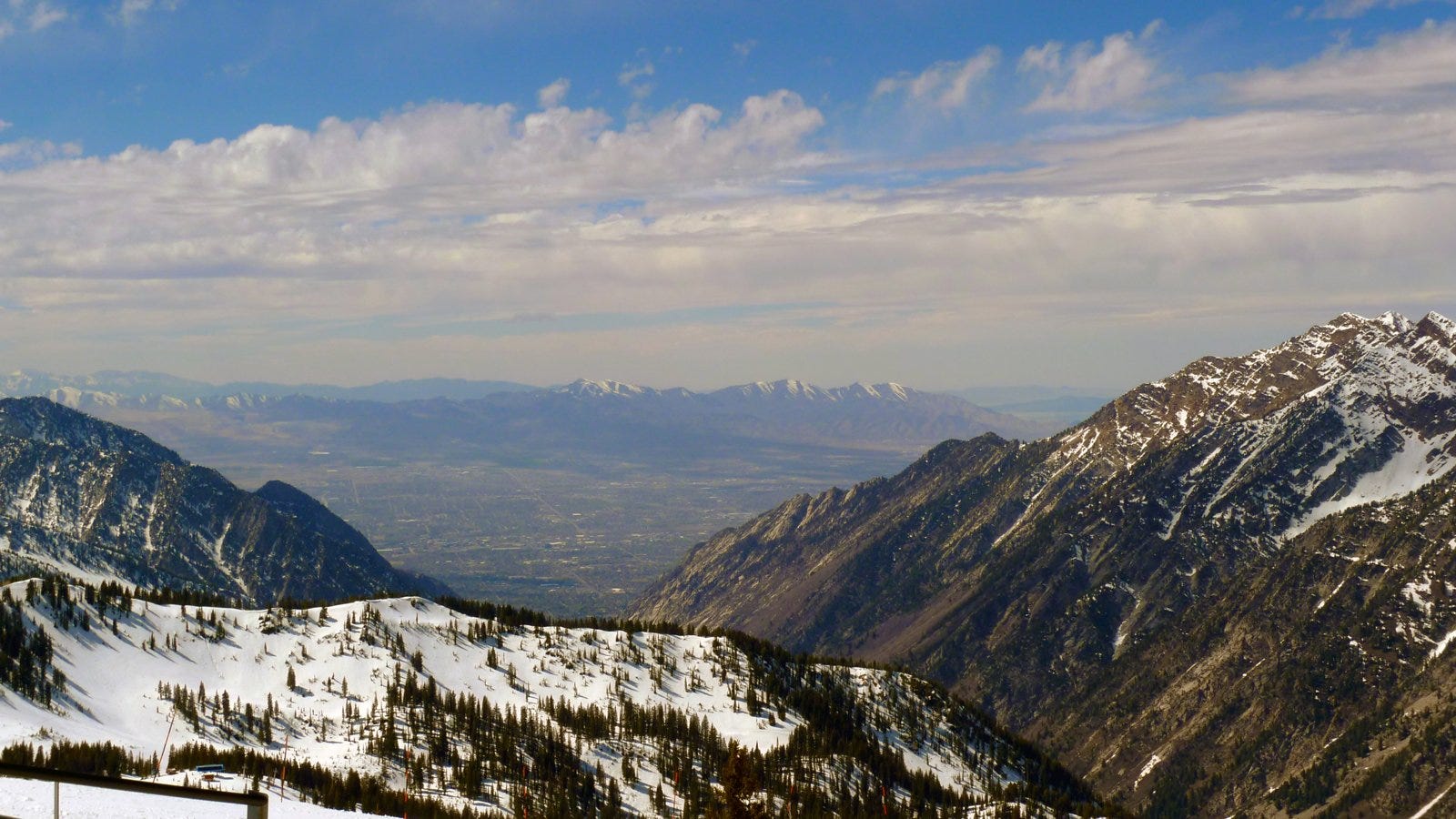
File photo: Looking out from the Hidden Peak summit toward the Salt Lake Valley.
Photo: Don Ramey Logan / Wikimedia Commons, CC BY 4.0
(Something the totals hide: rain on bare October ground isn’t wasted. It soaks soils and fills reservoirs, and that’s the water snowmaking pulls from in November. The flip side is that if it freezes hard before the real snow comes, early coverage sits on a slick crust. That’s why I watch the first cold night after a warm storm as closely as the storm itself.)
Colorado gets its turn while Utah dries out. SnowBrains has A-Basin, Winter Park and Loveland leading at 5–8 in. Tuesday through Friday, with Wednesday and Thursday the best window (SnowBrains). The NWS grid near Keystone shows 3–5 in. Wednesday (NWS Keystone). The bigger news may be the cold behind it, which could finally open a real snowmaking window. A-Basin and Loveland are the ones to watch.
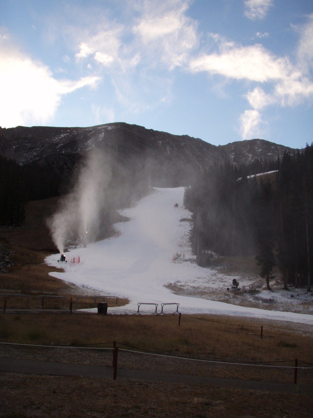
Snowmaking at Arapahoe Basin.
Photo: emerson12 / Wikimedia Commons, CC BY 2.0
(For the opening-day race, the cold matters more than the snow. Overnight lows decide when the guns can run, and a few natural inches only help once there’s something man-made underneath.)
Back east, it’s patience. Stowe gets more rain Tuesday, with highs in the 50s and low 60s and no snow, and Killington still hasn’t set an opening date. The East will get its turn, just not this week.
Utah’s opening dates haven’t changed: Brian Head on Nov 6; Alta, Park City and Solitude on Nov 20; Snowbasin and Snowbird on Nov 27.
Closer to home, if you’re in the DC area, TGR’s Actually, It Is Rocket Science plays Arlington Cinema & Drafthouse (2903 Columbia Pike) this Thursday, Oct 15, and Saturday, Oct 17, at 7 PM ET, and it’s all ages (TGR film page).
(For those of us who ski from the Beltway, ski film season is the start of our winter. It’s the one night in October when a room full of people in Northern Virginia all want to talk about snow.)
Worth a click
If you’ve got a few more minutes, racing season is stirring. Sun Valley released its World Cup Finals schedule for March 18–25, and tickets are on sale (SnowBrains). Breezy Johnson is pushing back on the new FIS ski weight limits (SnowBrains), and Sölden snow control is Thursday. On the gear side, Powder reviewed the Blizzard Sheeva 9 and the Atomic Maven 103 CTi, and there’s a clever pole whose strap retracts into the grip for avalanche terrain (Unofficial Networks). Europe got its first real high-elevation snow near Alpe d’Huez and Les 2 Alpes, about 12–16 in. (30–40 cm) around 9,800 ft (3,000 m) (SnowBrains). That’s the same elevation story told on another continent. A YouTuber ranked Snowbird first and Alta second among Utah resorts, with traffic as his knock on both (Unofficial Networks). On the listening front, Cody Townsend was back on the Blister Podcast with Jonathan Ellsworth for September’s “Reviewing the News.” They covered the Vail Resorts proxy fight, the future of mega passes, what a “Super El Niño” season might mean, and ski areas weighing in on daylight saving legislation (Apple Podcasts). The week before, Blister talked with Todd Barber, the creator of Red Bull Rampage, ahead of the event’s 25th anniversary. And Season 7 of the SnowBrains Podcast launches Tuesday.
File photo: A Utah skier on a bluebird day.
Photo: Tyson Dudley / Wikimedia Commons, CC0
I write this for people who plan around the mountains instead of living in them. If that’s you, subscribe free.
Check your beacon, point ’em downhill, and drop in.
